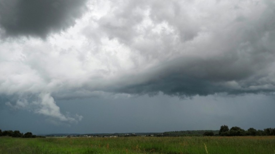
JOHANNESBURG - Large parts of Gauteng were engulfed in storms on Tuesday night which, despite their ferocity, did not bring much-needed rain.
The northwest of the country bore the brunt of the powerful winds, with reports of damage to Maruleng Mall.
According to Lehlogonolo Thobela from the South African Weather Services, the storm started on the eastern side of the North West province before moving further east into Gauteng.
"This resulted in the most damage brought on by the winds caused by thunderstorms," he explained.
According to Thobela, thunderstorms generally bring rainfall with them.
"The normal definition of a thunderstorm is that it is a cloud that brings with it precipitation," he said.
"This then produces lightning".
However, in Tuesday's storm, the thunderstorm had microbursts or sinking air.
Tuesday's microburst had more winds -- travelling at an estimated 110km/h -- which caused the bulk of the damage.
Thobela says that South Africa is currently in early spring and can expect fewer cold fronts.
However, it is an introduction of more thunderstorms as the country moves deeper into the warmer months.

