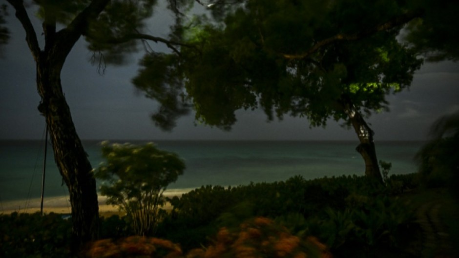
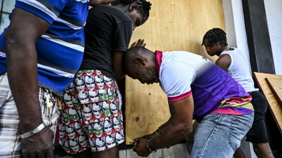
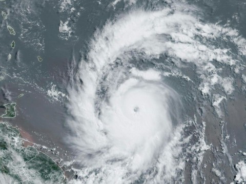
Hurricane Beryl slammed into the Caribbean island of Carriacou on Monday, producing "life-threatening conditions" including disastrous winds, according to US trackers, after the storm strengthened into a powerful Category 4 storm.
With the "extremely dangerous eyewall" moving over the island, which is part of Grenada, the US National Hurricane Center warned residents "not leave their shelter as winds will rapidly increase."
The eye of Beryl made landfall on Carriacou Island at 1510 GMT, the NHC reported on X, adding in a bulletin that it was creating "catastrophic winds and life-threatening storm surge."
Posting a video showing large waves, the Office of the Prime Minister of Grenada wrote on Facebook that the tri-island state was "experiencing intense winds and damage."
"This is an extremely dangerous and life-threatening situation," the NHC said. "Residents should not leave their shelter and remain in place through the passage of these life-threatening conditions."
Experts say that such a powerful storm forming this early in the Atlantic hurricane season -- which runs from early June to late November -- is extremely rare.
"Only five major (Category 3+) hurricanes have been recorded in the Atlantic before the first week of July," hurricane expert Michael Lowry posted on social media platform X.
"Beryl would be the sixth and earliest this far east in the tropical Atlantic."
Grenada Prime Minister Dickon Mitchell urged citizens to quickly seek shelter and respect an island-wide curfew ordered for 7:00 pm to 7:00 am Tuesday morning.
Farther northeast in the Caribbean, officials in Barbados said the island was buffeted by high winds and pelting rain, but appeared to have avoided disaster, reporting no injuries so far.
Barbados seems to have "dodged a bullet," Minister of Home Affairs and Information Wilfred Abrahams said in a video, but nonetheless "gusts are still coming, the storm-force winds are still coming" he said, warning residents to remain inside until the all-clear.
Barbados, Grenada, plus Saint Vincent and the Grenadines, and Tobago were all under hurricane warnings, the NHC said, while a hurricane watch or tropical storm warnings or watches were in effect for Jamaica, Martinique, Trinidad, St Lucia, and parts of the Dominican Republic and Haiti.
A state of emergency was declared in Tobago, the smaller of the two islands that make up Trinidad and Tobago, with schools ordered closed on Monday, top official Farley Augustine said.
A meeting this week in Grenada of the Caribbean regional bloc CARICOM was postponed.
- Extreme weather -
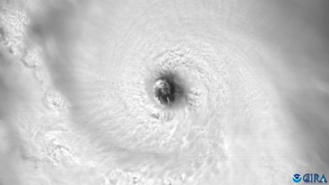
Beryl became the first hurricane of the 2024 Atlantic season early Saturday morning and quickly strengthened to Category 4, the first ever to reach that level in June, according to NHC records.
A Category 3 or higher on the Saffir-Simpson scale is considered a major hurricane, and a Category 4 storm packs sustained winds of at least 130 miles per hour (209 kilometers per hour).
As Beryl struck Carriacou, it was packing maximum sustained winds that had increased to 150 mph, the NHC said.
Beryl is expected to remain powerful as it moves across the Caribbean, the NHC said, warning residents and officials in the Lesser Antilles, Hispaniola, Jamaica, the Cayman Islands and the remainder of the northwestern Caribbean to carefully monitor its progress.
The agency cited warm Atlantic Ocean temperatures and conditions related to the weather phenomenon La Nina in the Pacific for the expected increase in storms.
Extreme weather events including hurricanes have become more frequent and more devastating in recent years as a result of climate change.
By Chandan Khanna
*The information contained in the article posted represents the views and opinions of the author and does not necessarily represent the views or opinions of eNCA.com

